
Hurricane Ian brought significant storm surge and heavy rain to Florida and the southeastern U.S., resulting in extensive flooding and catastrophic damage. NOAA’s Center for Operational Oceanographic Products and Services (CO-OPS) tracked water levels during the storm in real-time through the CO-OPS’ Coastal Inundation Dashboard web mapping application. This tool allows users to monitor elevated water level conditions along the coast when a tropical storm or hurricane watch or warning is issued. CO-OPS’ network of water level stations along the coast captured significant water levels at many locations, providing insight into the devastating impacts that Hurricane Ian had on the communities in its path. The water level observations are also critical for National Weather Service (NWS) hurricane specialists at the National Hurricane Center (NHC) who use the data for storm surge forecast validation in real-time.
Read more at: Extreme Water Levels During Hurricane Ian
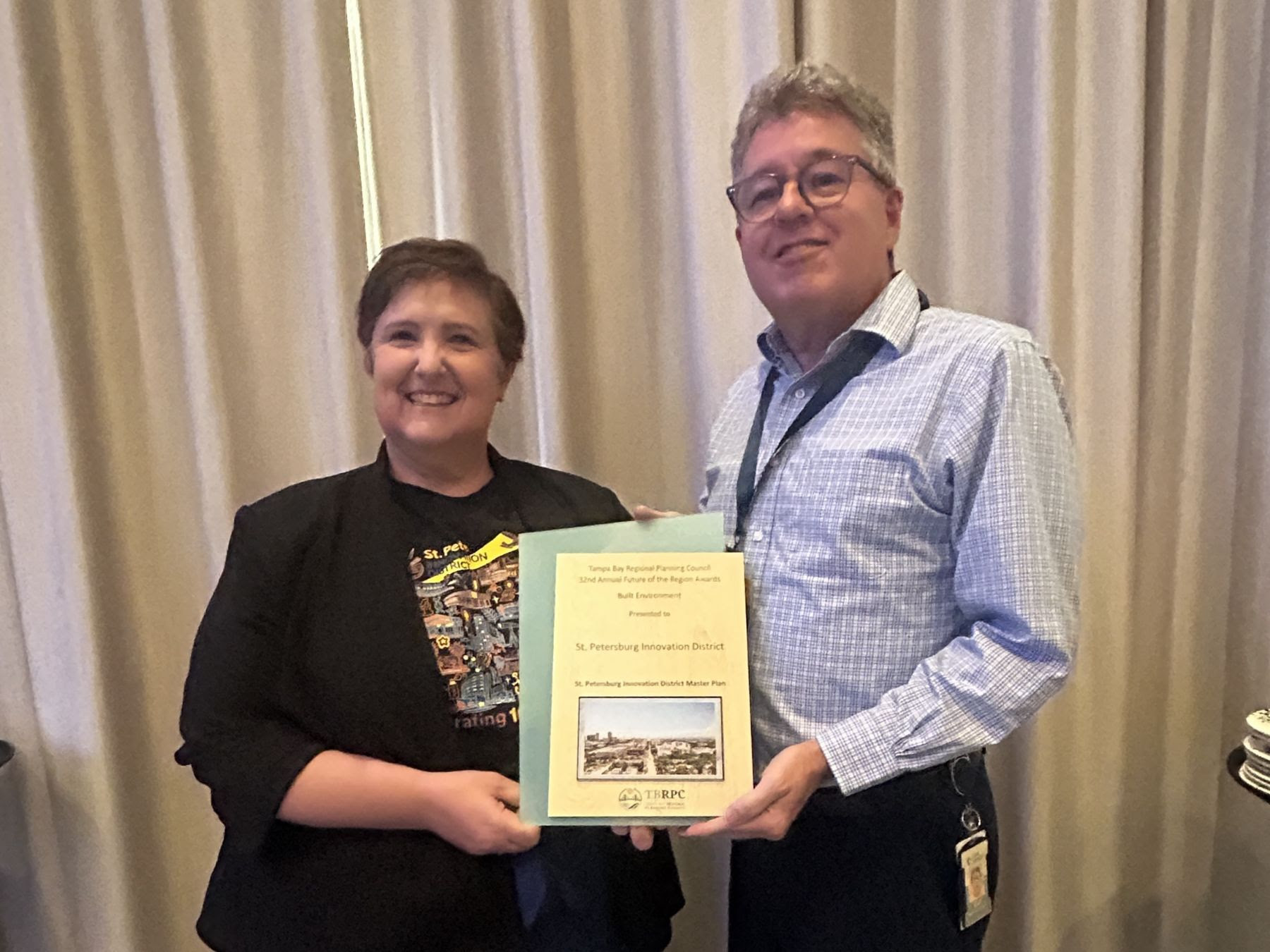
The St. Pete Innovation District Master Plan received the 2026 Future of the Region Award for Built Environment at the 32nd Annual Future of the Region Awards
The St. Pete Innovation District is proud to be a member of The Continuum, a national network of ocean enterprise accelerators created to move ocean intelligence and marine technologies
In the weeks following the devastating fire at the USF College of Marine Science lab, the St. Petersburg community proved that resilience is strongest when people come together